Research & Investigations
EU delays satellite imagery release over Gaza and West Bank
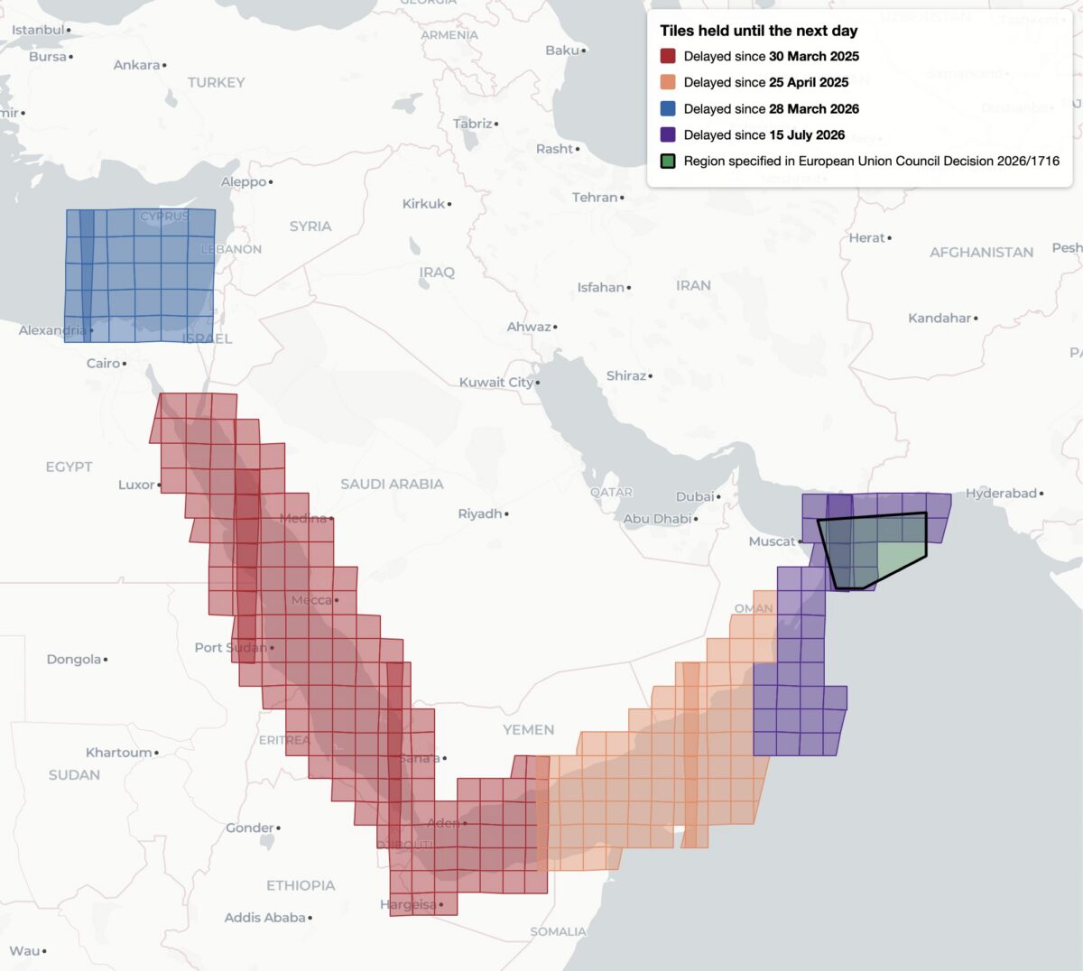
Image credit: Bellingcat
TOP News Brief
The Newsdesk gathers reporting from wire services and primary sources and rewrites every story in-house before publication. How our journalism is made →
European Space Agency satellites show a 24-hour lag in releasing publicly available imagery of Gaza and parts of the West Bank, Bellingcat reported. The Sentinel-2 and Sentinel-1 satellites, whose data is normally distributed freely, appear subject to the processing delay over the disputed territories.
The analysis did not specify which authority imposed the hold or the stated reason for withholding near-real-time satellite data from the region.