Research & Investigations
Google Maps shows extensive destruction across Gaza in new satellite images
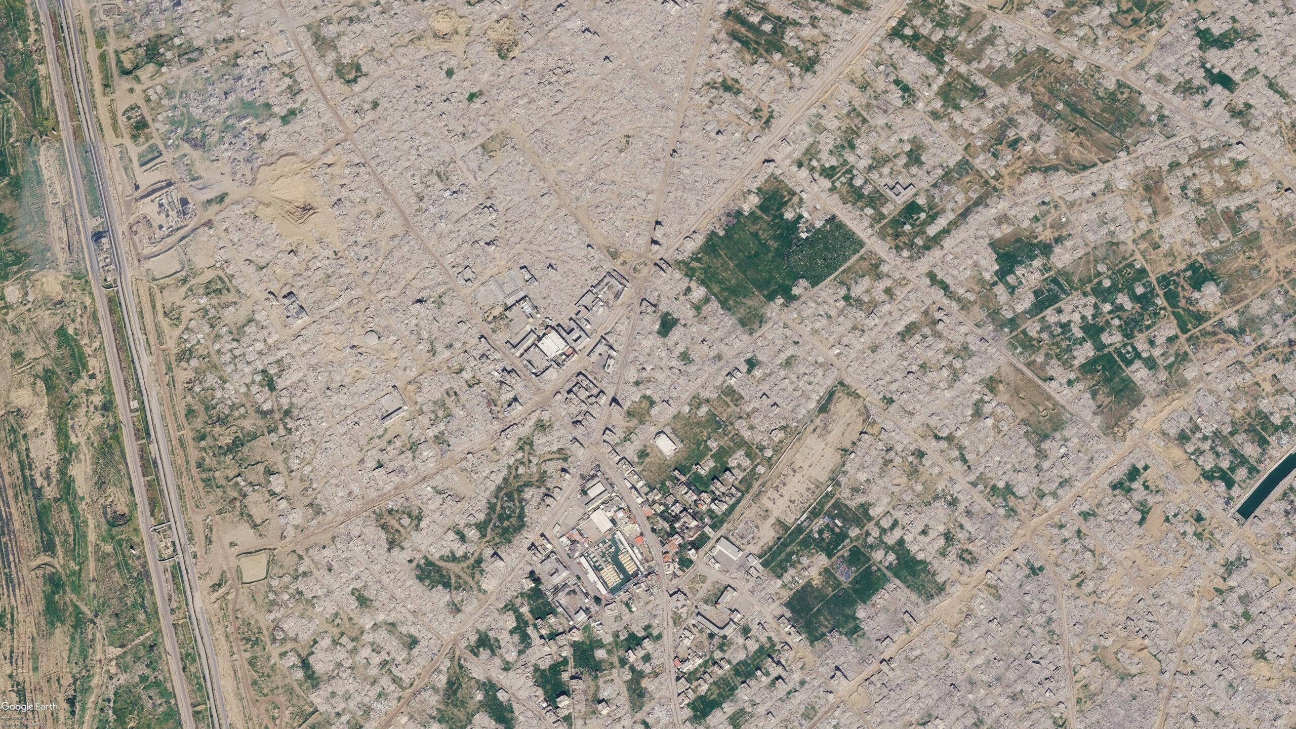
Image credit: Bellingcat
TOP News Brief
The Newsdesk gathers reporting from wire services and primary sources and rewrites every story in-house before publication. How our journalism is made →
Viral social media posts and news articles this week reported that Google had updated satellite imagery covering Gaza, Bellingcat found. The new images show widespread destruction across several areas, including the southern city of Rafah, with entire neighbourhoods appearing flattened in the photographs.
The imagery circulated broadly on social platforms and in news coverage before verification of its currency and scope.